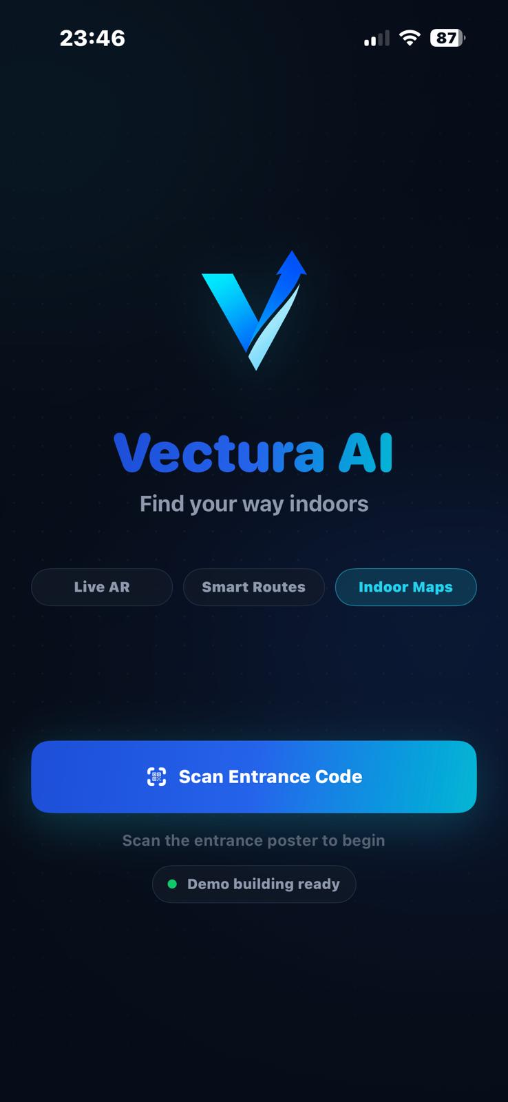
Vectura AI
Official Documentation · User Manual
Navigate
Any Space.
No Hardware.
Any Space.
No Hardware.
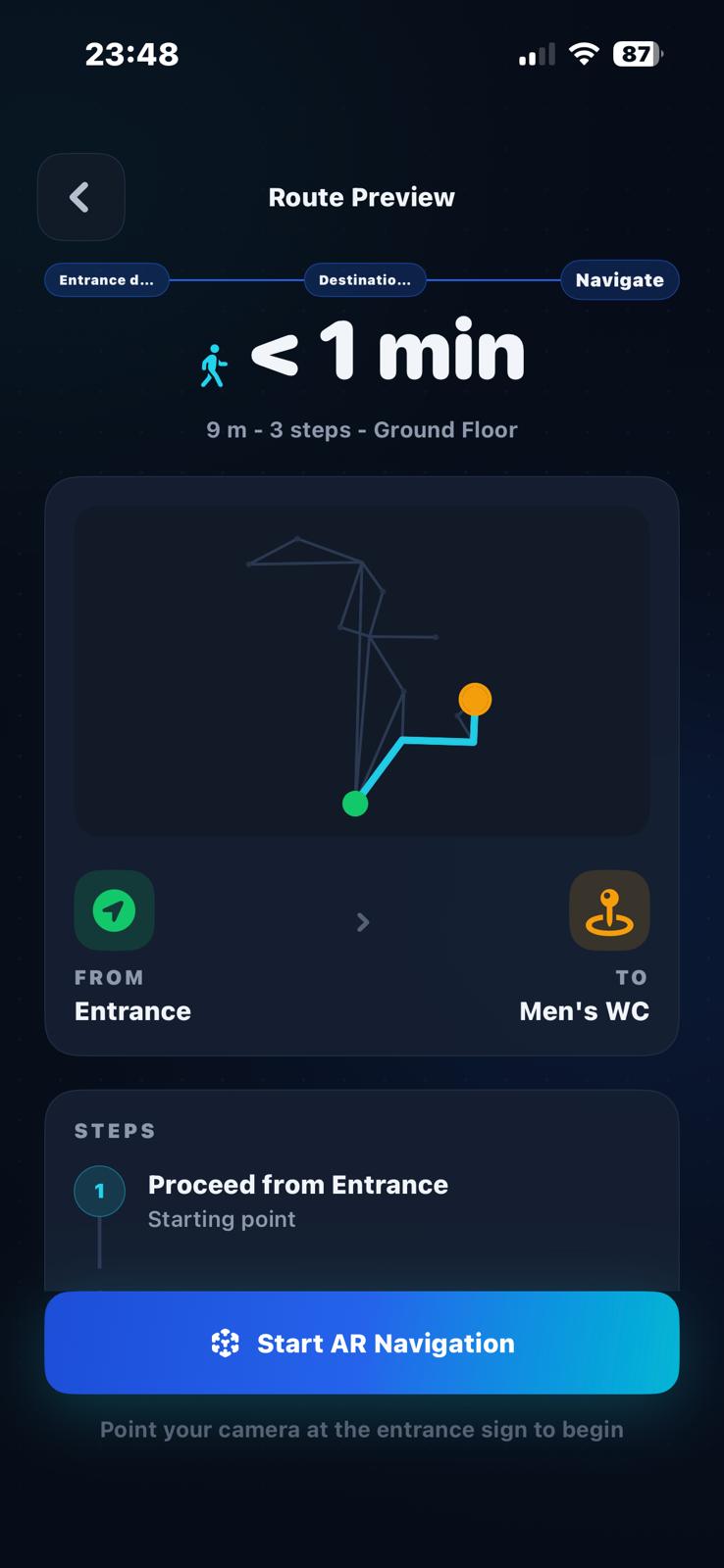
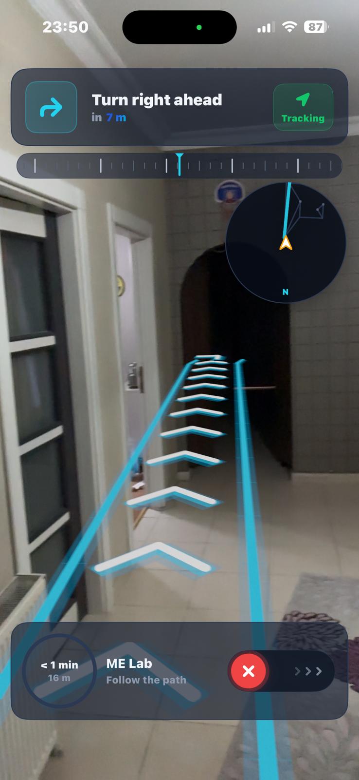
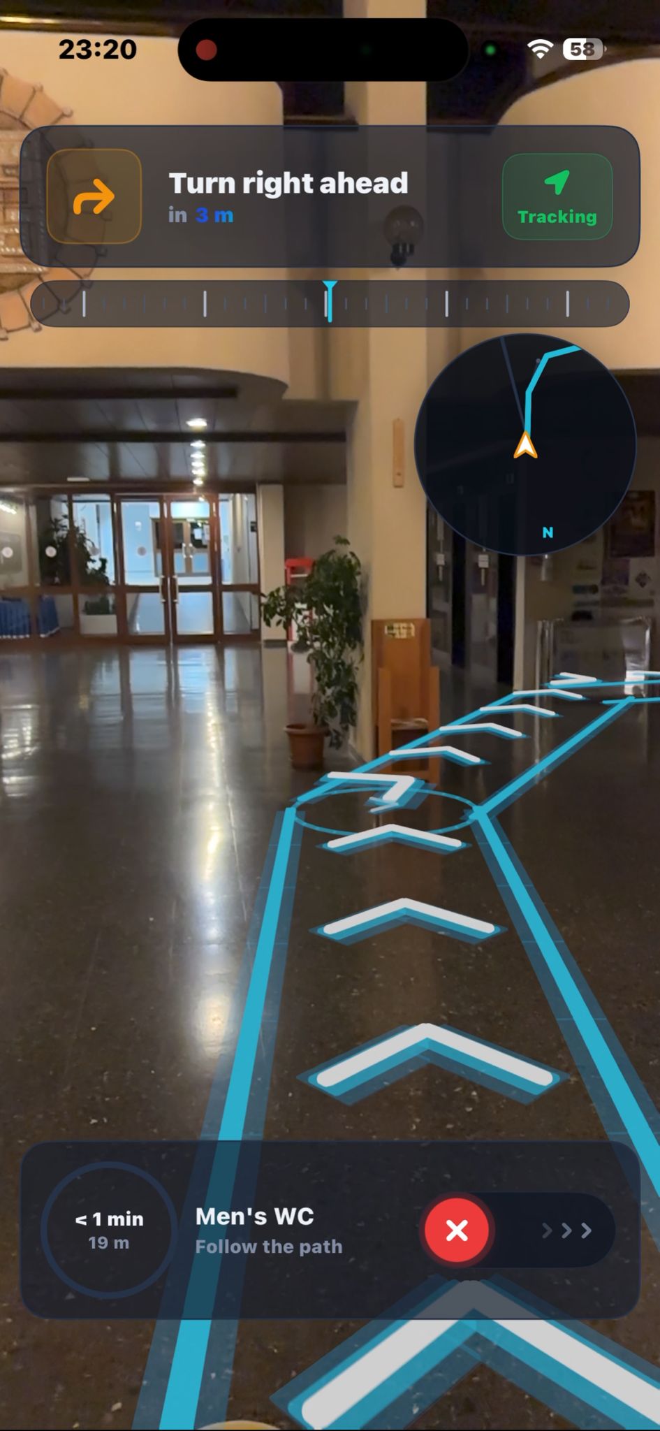
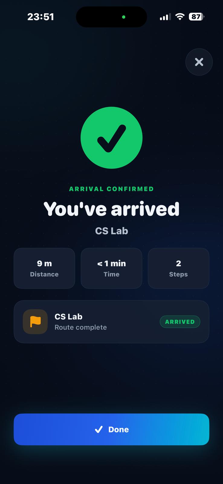
A complete guide to using Vectura AI — the augmented reality indoor navigation app that works entirely from your
smartphone, no beacons or infrastructure required.
VERSION 1.0